Correcting the area and boundaries of a property in Chile
- ↳ Legal problems with your property?
- What exactly does rectifying area and boundaries mean?
- Increasing vs. Decreasing surface area: Two distinct legal realities
- ↳ Decreasing the area
- ↳ Increasing the area
- The step-by-step Procedure to modify your registration
- The bureaucratic wall: What happens when the Conservator refuses to register?
- ↳ The judicial solution: The Claim for Refusal
- Frequently asked questions about property rectification
- ↳ What do I do if my neighbor refuses to sign the rectification deed?
- ↳ Does rectifying the area increase my property taxes?
- ↳ Do I need approval from the Municipality (DOM) or the SAG?
- Align your paperwork with physical reality today
Did you inherit your grandparents' land or just buy your dream parcel, only to carefully review the paperwork and discover a terrifying scenario? Your title deed says you have 400 square meters, but in reality, your fence encloses 600 square meters. Or worse, the paperwork claims you own a hectare, but the physical land barely reaches 7,000 meters. This disparity between the registry documents and physical reality is one of the most common and dangerous legal "time bombs" in Chile.
In the past, land was literally measured "by eye", using transient elements as boundary references, such as old trees, large rocks, or river courses that have disappeared or changed their paths over the decades. Today, this historical inaccuracy creates a true legal chaos when attempting to sell the property, apply for a mortgage loan at a bank, or submit a subdivision project to the Municipal Works Directorate (DOM) or the SAG.
However, there is a definitive legal solution to align your paperwork with your reality: the procedure of Rectification of Area and Boundaries (Rectificación de Cabida y Deslindes). Below, we explain with registry precision how this meticulous process works, merging exact topography with rigorous Chilean law, and what you must do if the Real Estate Conservator (CBR) refuses to register your modifications.
Legal problems with your property?
Our team of real estate lawyers is ready to defend your assets. We analyze your case without obligation.
Contact a LawyerWhat exactly does rectifying area and boundaries mean?
To understand the problem, we must first define both concepts with legal clarity. Area (Cabida) refers to the total surface of the land, that is, the exact amount of square meters or hectares that make up the property. Meanwhile, boundaries (Deslindes) are the physical and legal limits (North, South, East, and West) that separate your property from neighboring plots or public space.
The registry principle in Chile is relentless: for the State, financial institutions, and the real estate market, you are the exclusive and strict owner only of what your registration at the Real Estate Conservator states, not what your wire fence or wall encloses. If your paperwork is wrong, your assets are in imminent danger, you are vulnerable to usurpation lawsuits, and the property drastically loses its commercial value and liquidity.
Increasing vs. Decreasing surface area: Two distinct legal realities
Decreasing the area
It is essential to clarify that shrinking the surface area on paper is usually a considerably faster procedure. If, after a modern topographic survey, you discover you actually own fewer meters than your historical title indicates, legally the owner is simply "renouncing" an unreal extension of land. Since this action does not affect or harm the property rights of the neighbors, it rarely generates conflicts with third parties or outright rejections by the registry system.
Increasing the area
Here lies the true and deep complexity of real estate law. You must understand a basic premise: land cannot be invented. If your paper says 5,000 m² and you intend to register 7,000 m², the Chilean legal system defaults to assuming that those "extra" 2,000 m² legitimately belong to a neighbor, correspond to a national asset of public use (like a road), or are owned by the Treasury.
Therefore, expanding the surface area of your boundaries demands a much higher standard of proof and agreement, specifically designed not to cover up an illegal usurpation of someone else's land under the pretext of a "historical measurement error".
The step-by-step Procedure to modify your registration
To align your titles with physical reality, at Terreno en Regla we execute the following technical-legal protocol:
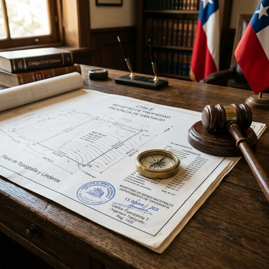
- Georeferenced Topographic Survey: This is "step zero" and unavoidable. A professional (topographer or surveyor) must visit the property and measure the actual land using precision technology and SIRGAS coordinates. The result is an exact and rigorous topographic plan.
- The Public Deed of Rectification: With the plan in hand, our specialized lawyers draft a complex notarial instrument where the owner declares their express will to adjust the boundaries and area of their title to the physical reality verified by the professional.
- The Golden Rule (Appearance of the Adjoining Neighbors): Especially when boundaries are modified or an increase in area is sought, it is a fundamental legal and practical requirement that the directly affected adjoining neighbors appear to sign the public deed. By signing, they expressly acknowledge and accept the new boundaries, declaring that there is no overlapping of properties. Without this peaceful signature, the direct and fast notarial route is irrevocably blocked.
Does this match your situation?
Ask about my case on WhatsAppThe bureaucratic wall: What happens when the Conservator refuses to register?
This is the most feared scenario by owners. You arrive triumphant with your perfect public deed and your topographic plan, submit the documents at the counter, but the Real Estate Conservator applies their so-called "registry qualification power" (enshrined in Articles 13 and 14 of the Conservatory Registry Regulations) and flatly rejects the registration.
Why do they do it? Often, the CBR argues that the surface rectification is so large it appears to cover up a "disguised sale" to evade taxes, the creation of an undercover illegal subdivision (violating urban planning law), or simply argues that it potentially affects third parties who did not appear in the deed.
The judicial solution: The Claim for Refusal
If the CBR rejects your process, you must know it is not the end of the world nor should you consider the battle lost. Your specialized lawyer must formally file a Claim for Refusal of the Conservator (Reclamo por Negativa del Conservador) before the competent Civil Judge of the commune.
In this trial (which is a brief and summary procedure), the judge is shown, providing topographic plans, historical titles, technical reports, and expert opinions if necessary, that there is no bad faith, no usurpation of fiscal or neighbors' land, and that the only goal is to truthfully state the historical area. At the end of the process, it is the Judge who, through a firm judicial sentence, expressly orders the Conservator to proceed with the registration of the new boundaries and area, overruling their initial refusal.
Frequently asked questions about property rectification
What do I do if my neighbor refuses to sign the rectification deed?
If there is no peaceful agreement and your neighbor flatly refuses to sign acknowledging the boundaries, the notarial route is discarded. In this case, your legal team must resort to contentious judicial routes, such as filing a Lawsuit for Demarcation and Enclosure (Juicio de Demarcación y Cerramiento), or evaluate the feasibility of regularizing the disputed strip of land through the Ministry of National Assets, invoking Decree Law 2695.
Does rectifying the area increase my property taxes?
Yes, it is a possible scenario. If the rectification implies that you significantly increase the useful square meters of your property before the Internal Revenue Service (SII), and especially if you regularize new constructions in the process, it is highly likely that a fiscal reappraisal of the property will occur, which will increase the amount of your quarterly property taxes (contribuciones).
Do I need approval from the Municipality (DOM) or the SAG?
It strictly depends on the nature of your property. If the land is located in an urban area, the new boundary and area plans usually require the approval stamp of the Municipal Works Directorate (DOM). If it is a rural parcel, under certain circumstances, validation from the Agriculture and Livestock Service (SAG) might be required before going to the Notary.
Align your paperwork with physical reality today
Having a property with confusing boundaries or an inaccurate area is a true time bomb that will explode in the hands of your future heirs or drive away any serious buyer or bank. Rectifying and clearing your titles in time is the only way to protect the full and unquestionable value of your real estate assets.
At Terreno en Regla, we are not just topographers nor just desk lawyers. We offer you a comprehensive strategy: our topographers craft the plan with millimeter precision, while our lawyers draft the deeds, peacefully negotiate with your neighbors, and, in case the Real Estate Conservator puts up resistance, we take on the judicial litigation before the corresponding Civil Court until we win the sentence and leave your property impeccably registered.
Tell us your situation and we will tell you what applies.
Talk to a lawyer on WhatsApp